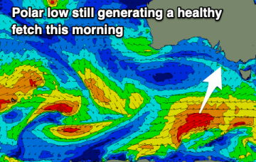
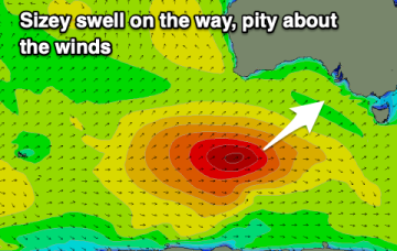
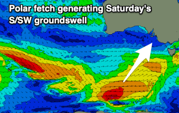
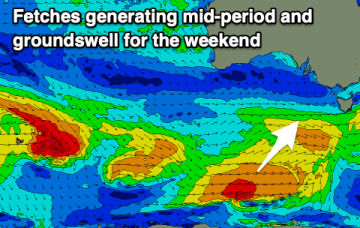
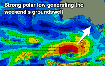
The coming period will see plenty of surf but poor conditions for the South Coast and generally tiny waves on the Mid Coast.
Primary tabs
A good swell will be spoilt by a return of strong and gusty S/SE-SE winds. The Mid Coast will be clean but minimal in size.
Plenty of swell energy but winds will be average for the South Coast apart from the weekend.
Plenty of swell and light winds over the coming period, cleanest and best one day over the weekend.
Light winds tomorrow but then onshore from Wednesday for the South Coast with tiny peelers on the Mid Coast. Better surf developing on the South Coast from the weekend.
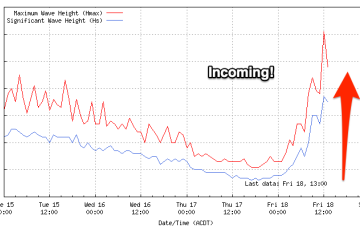
We've been waiting all day but the buoy is looking good and there are signs of new swell starting to show.
We've got a fun swell to finish off the week along with favourable winds, improving across the South Coast Saturday.
Lots of surf days this period, initially down South and then on the Mid Coast.
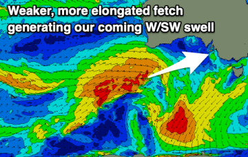
Winds will continue to slowly improve over the coming period for the South Coast with a couple of fun swells. Increasing W/SW swell energy is due into next weekend.
There's plenty of swell for the South Coast this period and winds will slowly improve over the coming days.

