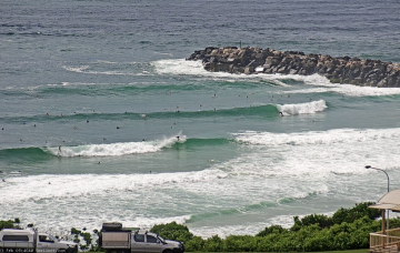
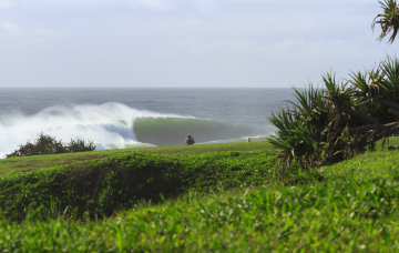
There’ll be waves most days, just don’t expect anything amazing. Long term has a few interesting options too. More in the Forecaster Notes.
Primary tabs
Today’s northerlies will be a distant memory by Thursday morning. And there's more swell on the way too. More in the Forecaster Notes.
So, ex-TC Uesi exited our swell window early in the weekend. But, amazingly, it’s still generating new swell and we’ve got some more groundswell on the way. More in the Forecaster Notes.
Let’s be frank: the last few weeks of forecaster notes have been lengthy reads, thanks to complex synoptic patterns. Fortunately, this weekend's outlook is relatively straightforward. More in the Forecaster Notes.
On the balance, there are no major changes to the Forecaster Notes for this upcoming cyclone swell event. There are a few small points of discussion worth tabling though.
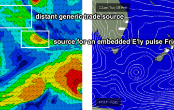
TC Uesi will properly enter our swell window on Tuesday morning, and right now it’s looking like it will push south-west towards Northern NSW through the middle to latter part of the week. More in the Forecaster Notes.
Of course, the surf outlook means nothing without a grip on local winds, and this is where things get a little fruity. More in the Forecaster Notes.
At this stage we can only discuss the weekend outlook with broad brushstrokes. But there are windows of opportunity to consider. More in the Forecaster Notes.
This enhanced trough/possible ECL setup will probably reach maximum strength later this weekend, and early next week will see a peak in surf size. More in the Forecaster Notes.
The outlook for next week remains very dynamic, with some great waves on the way. More in the Forecaster Notes.

