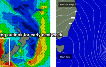
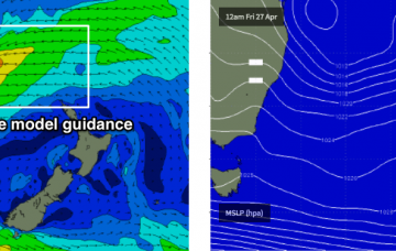
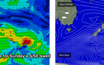
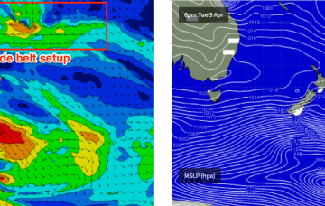
This Tasman Low is going to dominate the charts for some time.
Primary tabs
It’s way too early for any confidence on size and timing, but the short story is that the end of next week and next weekend is looking very dynamic, and likely very large at some coasts.
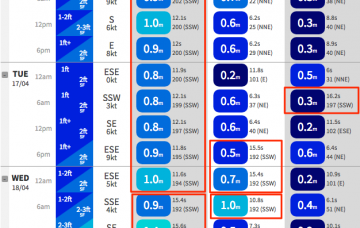
A new long period S’ly swell will push up during Thursday morning, generated by a polar low south of Tasmania earlier this week.
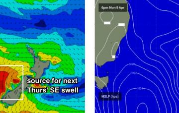
So, our recently spell of east swell has certainly drawn to a close, and the focus has swung to the south, thanks to a strong frontal passage through the Tasman Sea.
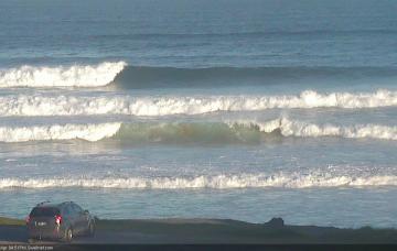
The SE swell has eased more rapidly than expected today, so I’m pulling back my expectations for Saturday’s waves.
Broad brushstrokes can be applied to various coasts over the next few days.
Looks like a couple of problematic days of northerlies ahead, mainly for southern regions.
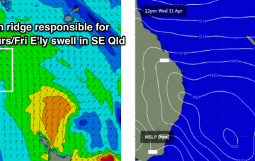
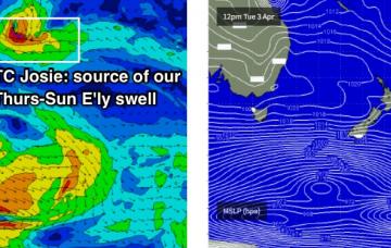
We’re looking at easing short range trade swell sources, and a steady underlying long range E’ly groundswell originating from TC Josie, positioned south of Fiji earlier in the week.
No change to the forecast for the rest of the week: TC Iris will maintain a stranglehold on surface conditions north from about Yamba.
The synoptic charts remain active.

