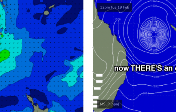
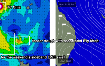
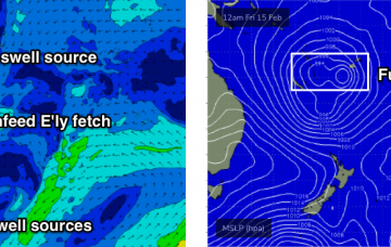
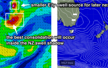
We have to be careful not to look at the model guidance in isolation, because it’s combining swell trains. More in the Forecaster Notes.
Primary tabs
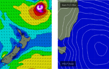
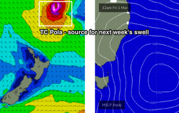
The latest model guidance has slowed TC Pola down a little, which has increased its size potential - though delayed its arrival until very late Sunday or early Monday.
Ex-TC Oma is moving to the north, but in its wake we’re seeing a broad, stationary ridge strengthen across the Northern NSW, which will maintain a steady supply of useful trade swell all week.
TC Oma has weakened to Category 1 status, but will strengthen back to Category 2 into Saturday morning.
To be honest, SE Qld and Far Northern NSW coasts simply aren’t conditioned for swell events of this magnitude. More in the Forecaster Notes.
On Sunday evening, the world’s leading atmospheric model (ECMWF) bucked the trend: keeping TC Oma off the SE Qld coast for a few days and then actually tracking it north, ahead of a coastal crossing mid-next week.
It’s hard to stay focused on the short term when there’s a major cyclone event looking for the Coral Sea. So try not to get distracted by the synoptics for the next few days.
There’s some pretty exciting model progs for the Coral Sea and South Pacific next week. More in the Forecaster Notes.
Some of the forecast charts are very impressive for the weekend, with a broadening ridge through the Tasman Sea combining with a widespread trough of low pressure to the north to create a large, strong SE fetch aimed into the Coral Sea.
The synoptics are incredibly complex at the moment.

