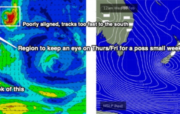
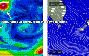
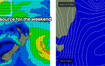
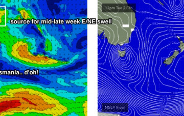
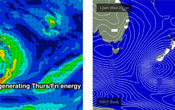
A small tropical depression near Fiji later this week is modeled to move southwards on Friday, before slowly setting up camp north of New Zealand over the weekend and evolving to a fully fledged subtropical low by Monday.
Primary tabs
Friday is where things get really interesting.
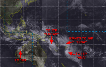
Ex-TC Lucas has been slow moving south of New Caledonia over the last few days, and is actually restrengthening today - though as an extra-tropical low.
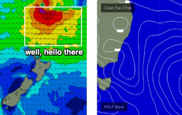
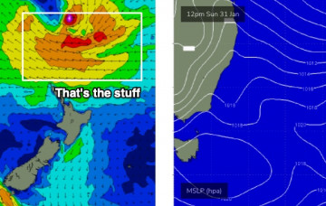
Our focus is firmly fixed to the Northern Tasman Sea, where an established trade flow over the last few days is being supercharged by two tropical cyclones: ex-TC Ana (now NE of New Zealand) and TC Lucas (tracking over New Caledonia).
There are more curveballs in this week’s synoptics than a major league baseball team.
The northern Tasman Sea and South Pacific remains very active under the influence of an MJO, and we’re still on track for a sustained run of sizeable E/NE swell for our region. More in the Forecaster Notes.
Looks like a couple of crappy days ahead. It’s still a little too early to be confident in the specifics regarding next week’s outlook, but broad brushstrokes remain much the same as discussed on Monday. More in the Forecaster Notes.
Our broad scale south swell window is about to become a little quiet as the tropics fire up under the passage of an MJO phase. More in the Forecaster Notes.
The weekend looks pretty fun though certainly nothing compared to the last few days. Lotsa potential for the long term too. More in the Forecaster Notes.
One of the difficulties in preparing a forecast at a time like now, is trying to seperate the events of the last 24 hours from what’s expected over the coming days. More in the Forecaster Notes.

