/reports/forecaster-notes/sydney-hunter-illawarra/2021/03/05/weekend-large-waves-better-winds-sunday
James KC
Friday, 5 March 2021
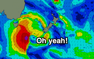
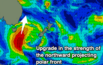
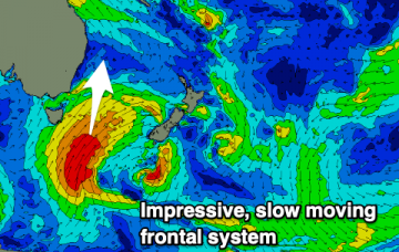
Prolonged, active and elongated polar front set to provide multiple S pulses arriving late this afternoon and keep plenty of energy in the water until at least Monday
/reports/forecaster-notes/sydney-hunter-illawarra/2021/03/03/plenty-s-swells-solid-the-weekend
James KC
Wednesday, 3 March 2021
Delayed S swell to ease tomorrow and into Friday before another S change brings solid swell for the weekend.
/reports/forecaster-notes/sydney-hunter-illawarra/2021/03/01/autumn-here-cue-s-swells
James KC
Monday, 1 March 2021
Prolonged period of S swells but what about the winds?
/reports/forecaster-notes/sydney-hunter-illawarra/2021/02/26/weak-swells-weak-winds-the-‘weakend
James KC
Friday, 26 February 2021
Summery weekend ahead of a few stronger S changes next week.
/reports/forecaster-notes/sydney-hunter-illawarra/2021/02/24/relatively-quiet-end-the-week-some
James KC
Wednesday, 24 February 2021
NE wind swell to bring a taste of summer before S change cools things down.
/reports/forecaster-notes/sydney-hunter-illawarra/2021/02/22/solid-swell-hanging-around-start-the
James KC
Monday, 22 February 2021
Swell hanging around for the start of the week. Becoming a bit small and windy for the end of the week.
/reports/forecaster-notes/sydney-hunter-illawarra/2021/02/19/chunky-weekend-glimmer-hope-monday
James KC
Friday, 19 February 2021
Chunky conditions are set to continue over the weekend. The start of the week is looking our best chance for better waves.
/reports/forecaster-notes/sydney-hunter-illawarra/2021/02/17/no-shortage-waves-the-way
James KC
Wednesday, 17 February 2021
Lumpy easterly trade swell followed by a solid but short lived east-northeast swell as winds swing south.
/reports/forecaster-notes/sydney-hunter-illawarra/2021/02/15/stacks-easterly-swell-ahead
thermalben
Monday, 15 February 2021
We've got a week of topsy-turvy east swell, and variable conditions - initially bumpy and onshore, but slowly improving later.
/reports/forecaster-notes/sydney-hunter-illawarra/2021/02/12/stacks-swell-in-the-tasman-window
thermalben
Friday, 12 February 2021
Main synoptic feature for this weekend is a S’ly change that’ll cross the South Coast before dawn. Oh, and there's a big swell for the end of next week.

