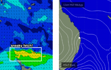
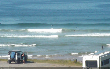
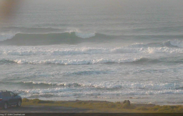
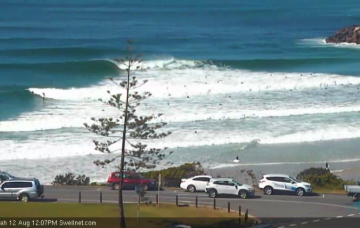
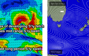
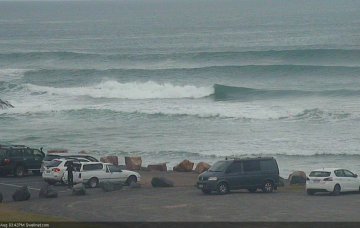
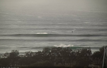
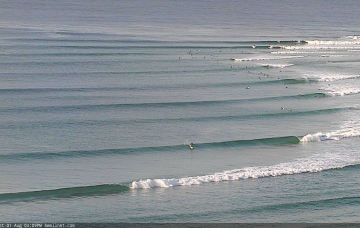
On Thursday, we’ll really start to see surf size increase through the day - initially across the Mid North Coast - before wave heights max out on Friday. More in the Forecaster Notes.
Primary tabs
There’s plenty of swell on the way for the rest of the week. More in the Forecaster Notes.
We’ve had a small weather system pop up on the weekend radar, though surf prospects still looks pretty average on the balance. More in the Forecaster Notes.
We’re back to a more bog-standard southerly swell routine for the rest of this week. More in the Forecaster Notes.
We’ve got a tricky forecast ahead, though the overarching trend will be out of the southern quadrant. More in the Forecaster Notes.
We’ve got a tricky forecast ahead, though the overarching trend will be out of the southern quadrant. More in the Forecaster Notes.
Get in early Thursday at your favourite south swell magnet, or forever hold your peace. More in the Forecaster Notes.
The associated fronts were slightly off-kilter for our swell window, but the fetch length has been very impressive an intense polar low at the bottom of the system (just off the ice shelf) displayed a nice core of 50kt+ winds yesterday, of which the associated swell energy will arrive across Northern NSW tomorrow. More in the Forecaster Notes.
Throughout SE Qld, I’ve changed my opinion on this swell and I think there’s a decent chance that that it’ll perform pretty well for the outer points, because most of the energy will have been sourced from the eastern Tasman Sea. More in the Forecaster Notes.
So, it’s all southerly swell for the foreseeable future. Lots of it, too, and sizeable. More in the Forecaster Notes.

