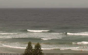
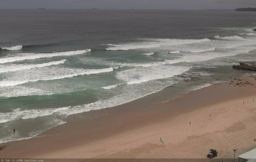
Chunky conditions are set to continue over the weekend. The start of the week is looking our best chance for better waves.
Primary tabs
Lumpy easterly trade swell followed by a solid but short lived east-northeast swell as winds swing south.
We've got a week of topsy-turvy east swell, and variable conditions - initially bumpy and onshore, but slowly improving later.
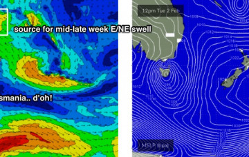
Main synoptic feature for this weekend is a S’ly change that’ll cross the South Coast before dawn. Oh, and there's a big swell for the end of next week.
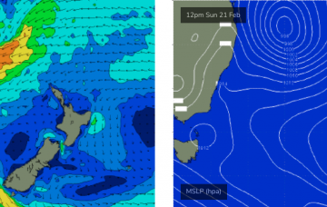
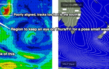
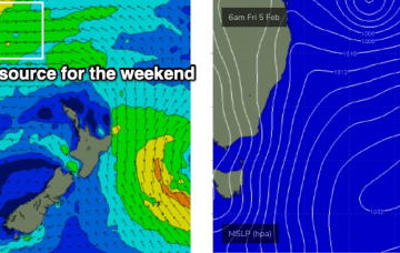
A small tropical depression near Fiji later this week is modeled to move southwards on Friday, before slowly setting up camp north of New Zealand over the weekend and evolving to a fully fledged subtropical low by Monday.
Friday is where things get really interesting.
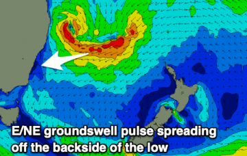
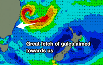
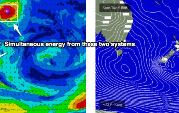
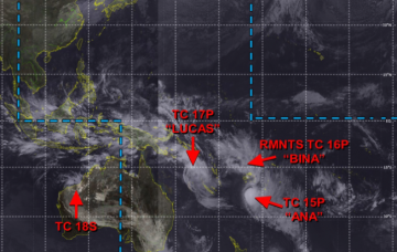
Ex-TC Lucas has been slow moving south of New Caledonia over the last few days, and is actually restrengthening today - though as an extra-tropical low.
Our focus is firmly fixed to the Northern Tasman Sea, where an established trade flow over the last few days is being supercharged by two tropical cyclones: ex-TC Ana (now NE of New Zealand) and TC Lucas (tracking over New Caledonia).
There are more curveballs in this week’s synoptics than a major league baseball team.
The northern Tasman Sea and South Pacific remains very active under the influence of an MJO, and we’re still on track for a sustained run of sizeable E/NE swell for our region. More in the Forecaster Notes.

