Better Late Than Never

The Victorian Surf Coast has again gone through another very lean peak season.
Unlike many Australian coastlines which receive year-round swell, the Surf Coast is seasonal and late autumn through winter is their time to shine. This is when strong, snow-bearing fronts storm through Bass Strait, bringing strong swell that, once it rounds Cape Otway, turns to groomed corduroy.
However, this winter - like most since 2020 - the weather patterns have unfolded slightly differently, and it's had an adverse result on the Surf Coast.
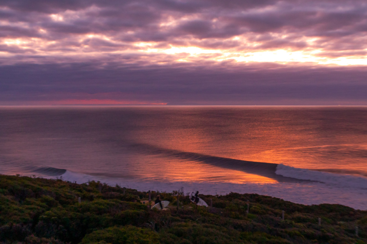
Friday provided a taste of what's to come (Arklay)
The westerly storm track has been sitting too far north to benefit the Surf Coast. Meanwhile, the storm and swell activity has been focussed into Western Australia, particularly the North West - if this article were about WA's NW the tone would be very different indeed.
For the Victorian coast though, the swells have arrived very westerly in direction, and they've been generally small. Granted that's not all bad news: exposed locations east and west of the Surf Coast have seen many quality days at a time of year when they're usually blown out.
Now, with just three days until the end of the winter and temperature records being broken across Australia, there’s finally a shift in the weather patterns inbound. Before we get to that, however, let's look at the seasonal chart.
The below Mean Sea Level Pressure anomaly chart paints a pretty clear picture. It shows the difference in pressure from the long-term climate average during June, July and August (up to the 24th).

Mean Sea Level Pressure anomaly for June/July/August (NOAA)
What stands out is the lower than normal pressure anomaly directly south-west of Western Australia, which is sitting a northern latitude, while to the east, higher than normal pressure stretches from beneath Tasmania across to New Zealand.
This tells the story of the season: Strong frontal systems have been slamming into Western Australia, though they're too far north to generate any considerable size for the Surf Coast. That said, the position of the high has produced favourable northerly winds for those aforementioned exposed spots.
The main beneficiaries of this setup have been WA's NW, plus select locations in South Australia, including the fickle Mid Coast which needs west swell to squeeze in the straight between the Yorke Peninsula and Kangaroo Island.
Such has been the constant run of westerly swell, the Cape du Couedic wave buoy has hardly dipped south of west for weeks on end.
One contributor to this current setup was the minor Sudden Stratospheric Warming event seen through July, with it lifting the storm track higher than normal across the Indian Ocean. This resulted in one of the strongest negative Southern Annular Mode (SAM) events in a couple of decades, but all at arms distance to the south-east of the country.
Fortunately, all this activity is now being dragged east by a strong and strengthening node of the Long Wave Trough, which is the main driver for surface fronts and storms.

Strong node of the Long Wave Trough moving east later this week
With the Long Wave Trough peaking across south-eastern Australia later this week - see above - we’re expected to see a series of significant swell-generating frontal systems being steered in that direction, resulting in an extended run of large west-southwest groundswell for South Australia and Victoria.
The run of swell begins today and will continue till early next week before slowly settling back down through the middle to end of next week as the LWT weakens.
While it's very late in the season, it’ll be much welcomed by Victorian surfers who’d have to put up with a very subdued season of waves this year.
Comments
Thanks Craig.
Yes, charts look amazing!!!
Going to need to temper the excitement level and surf only every second day over the next week.
My tired old carcass won't cope otherwise!
Cheers Craigos. Beggars certainly can't be choosers so bring on the swell... but if someone could just tone down the wind a smidge from cyclonic, that'd be great.
Just had the windiest surf of my life at winki, felt like the fabric of space time was being shaken.
Haha, how you go getting down and into a couple?
actually ok, the direction made it doable
Hi Craig, I concur with ur assessment. In 30 + years here in the SW of the biggest island ,we've had a wet winter however not so cold. Mid Northwest tho has reaped a lot of fronts & in addition, has far higher rainfall averages. Simply they're not smashing us but making landfall way further North.
I'm loathe to now comment on anything on this forum unless it's something I know about, always been my schtick.
Respectfully, do you think the destructive Kalbarri cyclone created an upper atmosphere pathway that has paved the way for the current phenomenon? Let me know what U think,like ur work mate.
Thanks Mal.
And the time between the Kalbarri cyclone and now is too far apart for there to be any correlation. It just seems to be the pattern now with more northerly positioned mid-latitude storms.
Given the SSW in 2019 led to strong westerlies on the SC (my memory is that it was November, and felt like May...) - does it also portend that strong westerlies will continue and NSW get dry, and set up for a bushfire season like 2019?
This is the setup I'm talking about:
https://www.msn.com/en-au/news/australia/bureau-issues-multiple-warnings...
If msn does the good old redirect on you, look up:
'Bureau issues multiple warnings as fierce winds over southern Australia brings potential record heat to Sydney and Brisbane'
It's a situation with very strong westerlies in the southern states (up to 125km/h on Wednesday; continuing) and record heat in NSW/QLD - bushfire danger would surely be there?
Is this related to the SSW Craig? It seems very similar to the one before.
Mentioned this before, but where might we find LWT prediction charts/graphs?
In the 2000s Blackheath weather used to have instructions on how to calculate it to two weeks out, a great explanation of what it is, and links to NOAA charts - it was a gift then!
https://blackheathweather.com/plota.html
surely there is better out there today
In our back end for now.
And that is somewhere in the Full Stack?
Keep it clean there's kids out there on the interweb....hehehe
soiled
The cdc buoy has been reading the swell direction incorrectly for 3 months , anyone who thinks it really is a wnw swell is off there dial !
One just has to look at cape sorrell buoy
To confirm the cdc directional buoy is off its dial
Hopefully should get fixed after this error.