Coming down with a hard landing
Victorian Surf Forecast by Craig Brokensha (issued Friday 2nd September)
Best Days: No great days
Features of the Forecast (tl;dr)
- Slowly easing surf Sat/Sun with mod-fresh S/SW tending weaker S winds tomorrow (low chance light W/SW winds early Surf Coast)
- Easing swell Sun with moderate S winds, freshening from the S/SW into the PM
- Smaller surf Mon with light-moderate SE winds
- Easing, small S/SW swell Tue with mod-fresh E tending SE winds
- Weak SE windswell Tue and Wed
- Inconsistent W/SW groundswell for later Wed, peaking Thu with E/NE-NE tending SE winds
Recap
The first pulse of SW swell expected yesterday came in above expectations across the Surf Coast with strong 4-5ft+ sets at dawn under offshore winds. The surf pumped and conditions remained favourable until late with a slight drop in energy. To the east protected locations offered good surf working the tides.
An early evening, onshore change brought poor conditions which have persisted this morning though with a relaxing of wind speeds. A secondary pulse of SW groundswell is now filling in but options are limited.

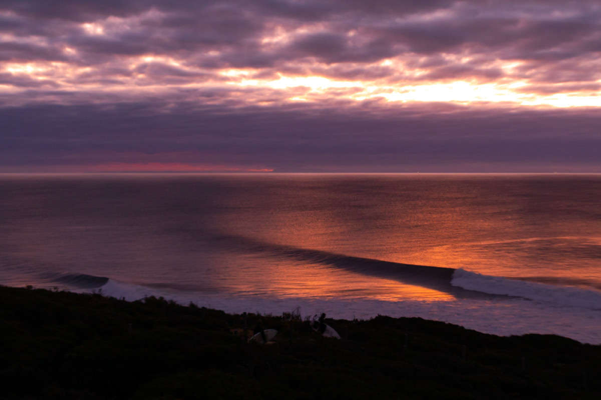
Pumping surf to start spring. Photo: Steve Arklay
This weekend and next week (Sep 3 - 9)
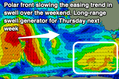
As touched on in Wednesday's update, the outlook for the weekend is average as winds persist out of the S'th though weaker in strength. The reason for the slow improvement in local winds following yesterday evening's front is a strong polar frontal progression firing up south of Tasmania, along with a deep low forming off the northern NSW coast, preventing a strong high from moving in from the west.
This will see moderate to fresh S/SW tending slightly weaker S'ly winds through tomorrow along with a slow drop in SW groundswell, easing from 4ft on the Surf Coast and 5-6ft on the sets to the east. There's a very slim chance for lighter W/SW winds at dawn on the Surf Coast but it's too dicey to drive too far for.
Light to moderate S'ly winds are due Sunday, freshening into the S/SW through the day with a further drop in swell back from 3ft+ on the Surf Coast and 4-5ft to the east. This easing trend is slow thanks to persistent, but weak polar frontal activity to the south-west of Tassie.
 Winds should start to slowly improve through next week but only slowly, with light to moderate SE breezes due Monday along with a further drop in size.
Our pulse of new S/SW swell has been downgraded further with the polar frontal progression south of Tassie only strengthening once out of our swell window, but we should still see a small mid-period pulse of swell into Tuesday morning.
Winds will swing more E'ly though conditions aren't expected to be perfect. Selected spots east of Melbourne will be fun though but on the smaller side, choppy on the Surf Coast.
Easing sets from 2ft+ are due on the Surf Coast, mixed in with a junky SE windswell, 2ft to possibly 3ft to the east.
Looking longer term and winds will improve and swing E/NE on Wednesday and Thursday but swell wise, we'll be looking at some distant, inconsistent W/SW groundswell from a less than ideally structured low moving in from the Indian Ocean.
The swell should build later Wednesday and peak Thursday morning to an infrequent 3ft on the exposed beaches, tiny on the Surf Coast.
Beyond this the outlook is slow but more on this Monday. Have a great weekend!


Comments
ouch!
Like a nasty hangover