Fading surf ahead of a windy, cold burst
Southern Tasmania Surf Forecast by Craig Brokensha (issued Monday 27th April)
Best Days: Tomorrow, Wednesday for beginners, late week and on the weekend
Recap
Friday afternoon's kick in strong W/SW swell eased back from 2-3ft on Saturday, tiny and bumpy into Sunday. A new W/SW swell kicked into yesterday afternoon with today coming in at a bumpy 2ft.
This week and weekend (Apr 28 – May 3)
A cold front pushing under us today, linked to the bumpy conditions should keep the surf up around 1-2ft tomorrow morning, but we'll see it easing through the day under moderate to fresh N/NE winds.
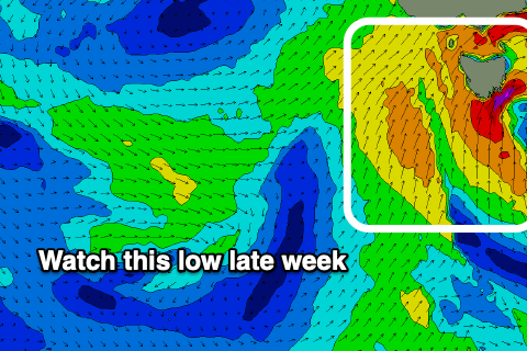
 The surf is then expected to be tiny but clean until late week (1-1.5ft Wednesday) when we see a strong, cold and deep low develop directly to our west.
As the low deepens it's expected to move slowly east, but the models are still divergent on the timing of this and the timing of the swell and onshore winds. At this stage it looks to be sometime Friday, followed by secondary polar fronts pushing up and across us on the weekend.
This will bring stormy onshore surf, snow and poor weather to the region, with 4-6ft waves likely Friday/Saturday depening on the timing, ahead of a renewal of S/SW swell Sunday.
EC has the evolution a little slower and the swell largest Saturday, but the main point is that when winds go onshore the swell will kick, remaining onshore Saturday through Sunday, likely clean again next Monday.
Check back here on Wednesday and Friday for any changes to the timing of the swell, its size and local winds through this period.

