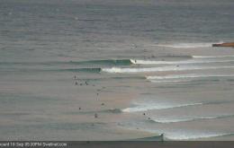
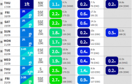
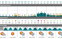
The new S’ly swell pushing up along the NSW coast today should provide some great waves across south facing beaches in Northern NSW on Tuesday morning before winds ultimately pick up from the north, then north-east during the day.
Primary tabs
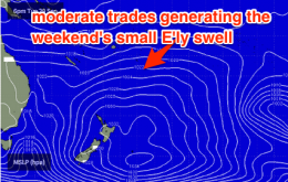
Small conditions oer the coming week. A touch of easterly trade swell for southeast QLD and southerly energy for northen NSW. Light winds early each day preceding a northeasterly seabreeze.
Points and back beaches are in for a fun, workable weekend of surf in the 2-3ft range. Mornings will be the go preceding afternoon seabreezes.
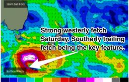
Although poorly aligned, a pair of strong frontal progressions will move across the Tasman late in the week generating side band energy for northern NSW and southeast QLD.
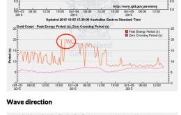
There haven’t been any significant other swell generating systems during this time, so the size will diminish steadily throughout the coming days.
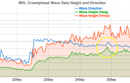
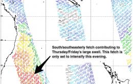
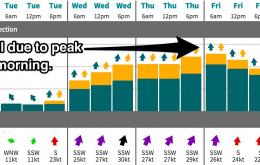
A lage swell will continue to build, peaking late on Thursday for northern NSW and Friday for southeast QLD. South/southwesterly winds each morning will lead to good conditions across the points. Keep an eye out on the local wind obs.
All this detail is fairly insignificant ahead of a much more exciting large south swell which has been the talk of the town.
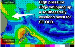
In essence we’ve got a typical summer pattern with a strong ridge through the Coral Sea all weekend expected to drive fresh SE winds across Southern Queensland and Far Northern NSW.
Thursday’s surf potential looks pretty grim at this stage.
I hope you’ve enjoyed the last few days of southerlies, as we’ve got freshening northerlies due on Tuesday.

