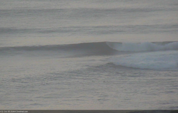
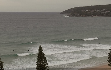
Next week has a lot of potential, but the models are highly divergent at the present time so confidence is only low as to how much surf we’ll see. More in the Forecaster Notes.
Primary tabs
No change to the outlook for the rest of the week, with small peripheral swells on the menu. More in the Forecaster Notes.
Small surf is still expected to be the dominant feature all week. But, there's a few interesting things on the charts. More in the Forecaster Notes.
Our current E/NE swell will continue to ease into the weekend. More in the Forecaster Notes.
Model guidance actually suggest tomorrow will be bigger than today. But, I just can’t see Thursday bombing any higher. More in the Forecaster Notes.
The main feature on the charts right now is an easterly dip in the north-eastern Tasman Sea, midway between New Caledonian and Fijian longitudes. More in the Forecaster Notes.
Over the weekend, a deep trough is expected to form south of Fiji, and a supporting ridge to the south will enhance a broad easterly fetch through the north-eastern Tasman Sea, stretching out into the Coral Sea. More in the Forecaster Notes.
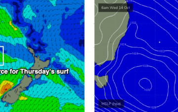
This afternoon’s local NE windswell should hang around into Thursday morning, but ultimately it’s the S/SE groundswell we’re all hanging out for. More in the Forecaster Notes.
Ultimately, there’s no major change to this week’s forecast, as was issued on Friday. More in the Forecaster Notes.
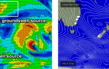
The parent polar low to the upcoming frontal sequence will stall south of New Zealand over the weekend, evolving into one of the biggest, most impressive weather systems seen in this region in a very long time. More in the Forecaster Notes.

