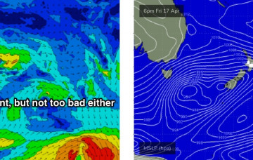
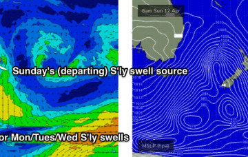
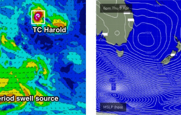
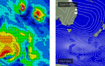
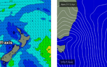
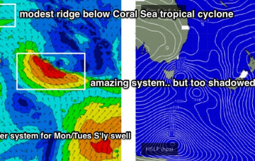
We’ve got a steady supply of building southerly swells on the cards, originating from two seperate fetches contained within one broader system, all associated with an amplifying Long Wave Trough. More in the Forecaster Notes.
Primary tabs
There's a fun SE swell expected over the coming days. Then another amplifying node of the Long Wave Trough that'll deliver overlapping south swells throughout the weekend. More in the Forecaster Notes.
Strong fronts have been pushing through the lower Tasman Sea all weekend, and they’ll provide plenty of south swell for the next few days. More in the Forecaster Notes.
Sunday’s surf will be large out of the south, originating from two sources. More in the Forecaster Notes.
We’re now on the backside of today’s pulse and size will continue to ease through Thursday. There's plenty of south swell on the way though. More in the Forecaster Notes.
We’ve got a couple of southerly swells due over the coming days as a strong long wave trough tracks across Tasman Sea longitudes. More in the Forecaster Notes.
The weekend outlook is quite tricky. More in the Forecaster Notes.
The models have changed the weekend outlook, with better winds likely on Saturday but reduced swell options. Next week still looks pretty dynamic though. More in the Forecaster Notes.
Looks like a slow week of relatively uninspiring waves. Next week is a much different story! More in the Forecaster Notes.
There's some swell on the way but winds look a little iffy at times. More in the Forecaster Notes.

