Stormy waves continuing tomorrow
Western Australia Surf Forecast by Craig Brokensha (issued Monday 10th August)
Best Days: Perth and Mandurah Wednesday morning, Mandurah Thursday morning, Margs and Mandurah early Friday
Recap
Strong winds and small surf Saturday morning left no quality options, while Sunday was poorer with even more strength to the northerly breezes.
Today conditions are large and stormy across all locations with gale-force onshore winds out of the west.
This week and weekend (Aug 11 - 16)
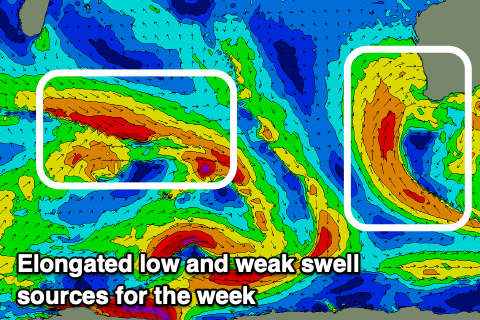
 Looking at the current synoptic setup and a broad and elongated mid-latitude storm that's extending from about Exmouth to below Tasmanian latitudes. This is moving in from the west bringing the strong to gale-force W'ly winds today and kick in stormy swell.
We'll see the low slow moving and weakening over the coming days with it pushing east this evening aiming a broad fetch of strong W/SW-SW winds into us.
This will keep the swell up around a stormy 10ft+ across the South West tomorrow morning, easing thereafter, and then down from 3-5ft across Mandurah and the 3-4ft range in Perth but with strong W/SW tending SW winds.
The swell will ease more into Wednesday as winds persist out of the S/SW, strong across the South West, but Perth and Mandurah should see light E/SE winds with easing 2ft to possibly 3ft sets across the latter, and 2ft in Perth on the sets.
Thursday looks to remain small though a new inconsistent W/SW groundswell should keep the South West around 4-5ft+ or so, 1ft to maybe 2ft in Mandurah and tiny to the north.
Conditions look clean again through the morning with an E/SE-E offshore, lingering S'ly down in the South West, finally swinging E/NE-NE offshore Friday but remaining around a similar size to Thursday. Winds will quickly pick up from the N/NE again with another approaching mid-latitude system and this looks to bring a return to onshore winds and building stormy swell.
The low could be quite strong, but we'll have a closer look at this on Wednesday.

