Average couple of days, improving into the end of the week
Western Australia Surf Forecast by Craig Brokensha (issued Monday 14th March)
Best Days: Friday, Saturday morning
Recap
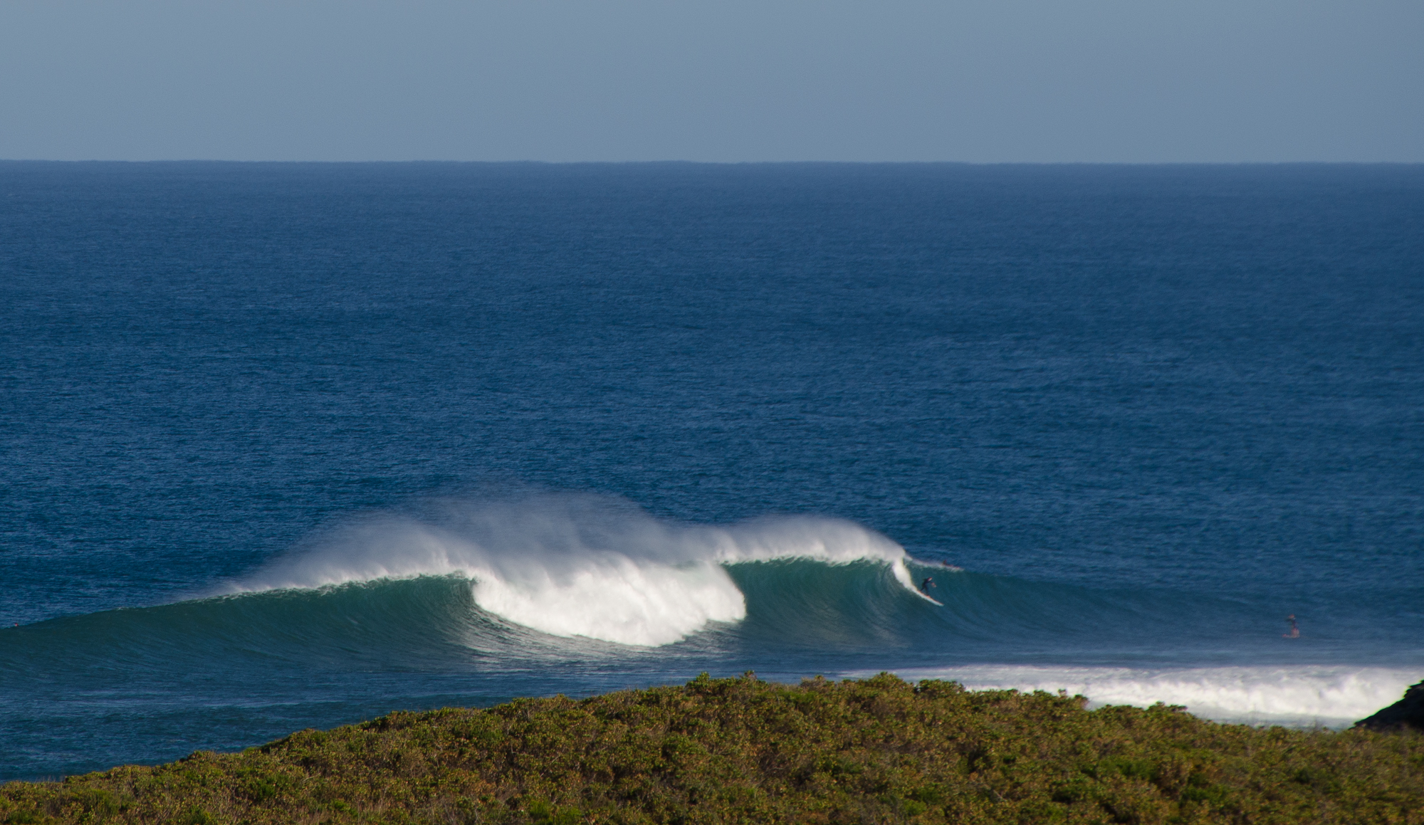
 Excellent waves across the South West Saturday morning with a peak in SW groundswell to an easy 6-8ft along with offshore winds. Perth was small but fun and around 2ft, with the odd bigger set around Mandurah.
Sunday saw the swell dip back to the 3-5ft range through the morning with stiffer and not as favourable offshore winds, while Perth became tiny again. An afternoon increase in reinforcing SW swell was seen though, ahead of a stronger secondary pulse this morning to the 4-6ft range. Perth remained tiny but clean all day.
This week (Mar 15 - 16)
Tomorrow is now unfortunately looking poor for a surf with a moderate to fresh N/NE breeze due to be up and blowing from first light across the South West, tending N/NW through the morning ahead of a mid-late afternoon S/SW change. This with an easing swell and there's no real decent options for a wave unless you go the dawny.
Wednesday won't be too much better with smaller amounts of swell and a fresh to strong S'ly tending S/SE wind.
The next increase in swell is due through Thursday from the SW ahead of a better S/SW groundswell pulse Friday.
The SW swell won't have any major size or power, generated by a relatively weak front that's east of Heard Island, with only a slight increase in the South West expected from 2-3ft to a better 3ft later.
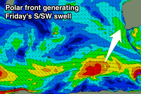
 Friday's swell should be generated by a strengthening polar front developing south-east of Heard Island tomorrow, projecting a fetch of strong to gale-force SW winds towards the Bight.
We'll see some fun S/SW groundswell energy spreading radially off this system, arriving Friday and peaking through the day to a good 5-6ft across exposed breaks, easing back slowly from 3-5ft Saturday and further Sunday as some smaller reinforcing pulses fill in.
Perth won't see much size, with the odd 1-1.5ft set likely from Friday afternoon, fading Saturday.
Winds will improve from Thursday but be real gusty, with a fresh to strong SE'ly persisting all day, while Friday should see better but still fresh and gusty E/SE winds all day. Saturday will be clean again with a straight fresh E'ly and afternoon sea breezes, while S/SE winds are due again into Sunday.
Longer term the outlook remains active with some strong polar frontal activity due through our south-western swell window as a couple of weak nodes of the Long Wave Trough move through.
We'll have another look at this Wednesday though.

