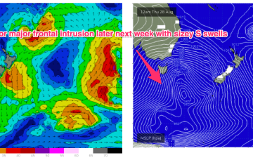
Small clean beachies for a few days; a return to winter later next week
Wednesday, 20 August 2025
Small clean beachies for a few days; a return to winter later next week
Wednesday, 20 August 2025
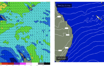
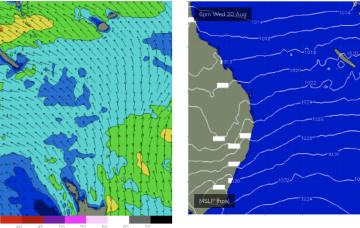
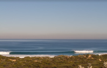
We’re on the backside of this most recent pulse and wave heights will continue to ease through Thursday and Friday. But.. I'm really not feeling it for the weekend any more.