Small swells continue with generally favourable winds

Southern Tasmanian forecast by Craig Brokensha (issued Friday February 21st)
Best Days: Tomorrow morning, Wednesday ahead of the change
Features of the Forecast (tl;dr)
- Fun, mid-period SW swell for tomorrow, easing into the PM, fading Sun
- Moderate N winds, strengthening from the E tomorrow, fresh N/NE tending W/NW into the PM Sun
- Small mid-period SW swell for later Tue, but more so Wed, easing Thu
- N/NW tending S/SE winds Tue, N Wed ahead of a late S/SW change
- New swells for later next week
Recap
Our reinforcing mid-period swells have maintained 2ft+ surf across Clifton the last two days, clean most of yesterday and good this morning ahead of sea breezes.
This week and weekend (Feb 22 - 28)
We should see similar size, 2ft+ waves into tomorrow morning across Clifton as the final pulse of mid-period SW swell peaks, then eases into the afternoon with smaller 1ft to possibly 2ft waves due to fade Sunday.
Conditions will be great tomorrow morning with a moderate N’ly wind, giving into strengthening E’ly sea breezes, with Sunday seeing strong N/NE winds, shifting W/NW through the afternoon ahead of an approaching mid-latitude low.
As touched on in earlier updates this week, the low will sit too far north of our swell window to generate any swell for the South Arm, but we should see polar activity on its tail setting up a fetch of strong to near gale-force W/SW winds in our south-western swell window Monday, generating some new mid-period SW swell for Tuesday afternoon and Wednesday.
It only looks to be 2ft or so with afternoon sea breezes spoiling it Tuesday afternoon, better Wednesday under a N’ly offshore before a trough brings a strong S’ly change later in the afternoon.
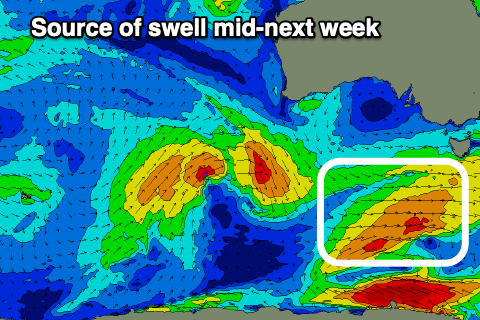
Longer term, a couple of weak frontal systems look to generate some new W/SW swell for later week, with a possible stronger low firing up under the country next weekend. More on this Monday, have a great weekend!