Strong swell inbound but cleanest as it eases
Southern Tasmanian Surf Forecast by Craig Brokensha (issued Friday December 3rd)
Best Days: Sunday morning, Monday for beginners, Wednesday morning, Thursday morning, Friday morning
Features of the Forecast (tl;dr)
- Small-mod sized W/SW groundswell for later today with S/SE winds, easing tomorrow with a strong SW change moving in right after dawn, tending S/SW during the day
- Easing mix of swells Sun with N/NW tending strong E/NE winds, tiny Mon with strengthening N/NE tending NE winds
- New SW swell for Wed with W/NW tending W/SW winds, slower Thu with similar winds
Recap
Tiny waves yesterday only suited to the biggest of boards while today we've got a tiny start and cross-onshore wind but some new swell should build to 2ft+ later out of the west. Cape Sorell is looking good but winds will remain onshore from the SE.
This weekend and next week (Dec 4 - 10)
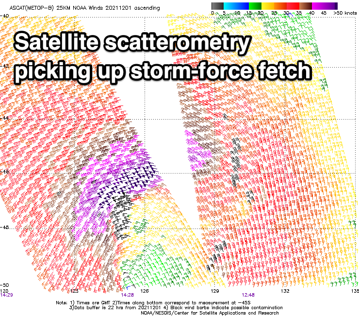
 The strong low linked to later today's and tomorrow morning's W/SW groundswell was a touch stronger than forecast on satellite scatterometry. This bodes well for some decent size in the South Arm when it peaks with 2-3ft sets likely late today and early tomorrow, but winds will remain an issue.
It looks like a strong SW change will move through right on or shortly after dawn, shifting S/SW through the day, creating poor conditions all day.
Sunday will be nice and clean with a N/NW offshore (strong E/NE into the afternoon) but the swell will be on the way out and fading from 2ft.
There'll also be some weak mid-period SW swell from tomorrow’s change in the mix but not above 2ft.
Monday looks tiny with strengthening N/NE tending NE winds ahead of a surface trough and SW change Tuesday morning.
Winds were looking a little suss for the rest of the week but now have improved and we should see a mix of new swells for Wednesday and Thursday.
The first on Wednesday will be a closer-range number, generated by a low forming south-west of us on Tuesday. The models still diverge a touch regarding the strength but we should see fun 2ft waves from this source along with W/NW tending W/SW winds.
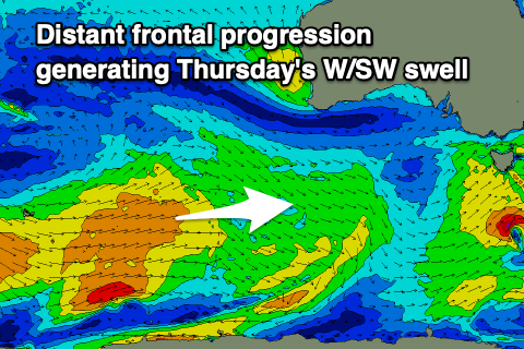
 On Thursday a more distant, inconsistent mid-period W/SW swell is due from a broad though relatively weak polar frontal progression forming near Heard Island today.
This will be similar in size and less consistent with sets to 2ft due under a W/NW morning breeze and afternoon S/SE winds.
Following this there's further activity on the cards but more on this Monday. Have a great weekend!

