Nice run of pre-Xmas E'ly swell ahead
South-east Queensland and Northern NSW Surf Forecast by Ben Matson (issued Mon Dec 18)
Features of the Forecast (tl;dr)
- Poor surf Tues with small surf and N'ly winds
- Chance for an early window of light winds north of Yamba on Wed, but still small - though slowly building from the east
- Nice run of E'ly swell (tending E/NE in the south) from Thurs - Sun, with generally light winds/sea breezes
- Size peaking later Fri, easing Sat
- Lots of potential for next week
Recap
A small mix of E'ly and S'ly swells plus a brief NE swell for the Gold and Tweed Coasts (on Sunday) provided small peaks all weekend and also this morning. However wave heights haven't managed much more than 2ft+ at exposed spots, in general most locations have been smaller. Winds have been from all corners of the compass; in general light winds freshening north on Saturday, then a morning/lunchtime southerly change that pushed further north on Sunday than expected - but relaxed into an afternoon of variable winds, which persisted this morning before the northerlies cropped up again.

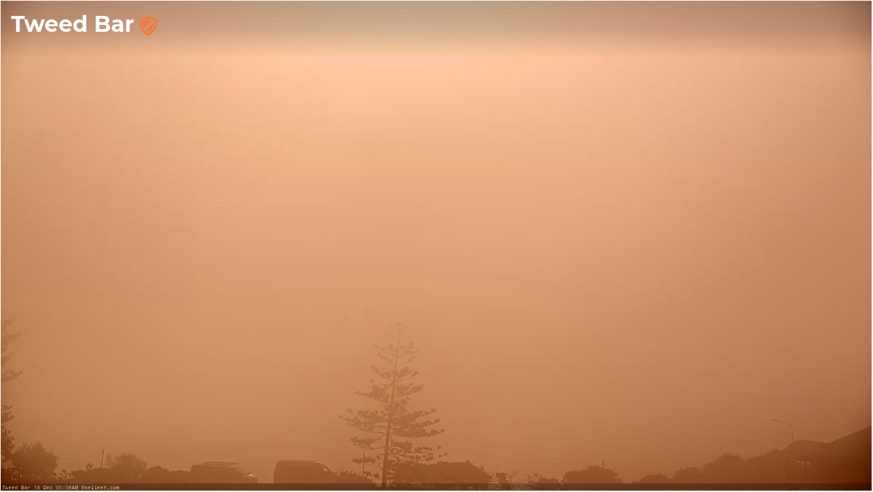
Monday morning fog at D'Bah
This week (Dec 19 - 22)
I like the look of these weather charts.
We've just gotta get through Tuesday, and maybe parts of Wednesday, before we enter a decent streak of fun surf and generally slack winds under a weak synoptic flow. There'll be some rain around too.
Tuesday will see generally small residual swells and freshening northerly winds - strongest across southern regions (Mid North Coast) and lighter north from Ballina (variable early in SE Qld), but without any size on offer there's not much to get excited about.
These winds will generate some low quality windswell for the Mid North Coast, so overall Tuesday isn't worth getting excited about.
The northerlies will throttle back through Wednesday - but it'll still remain the dominant feature across the coast, especially south from Yamba. Early light NW winds are possible north from Yamba ahead of moderate NE sea breezes, but surf size will be small for the early session, when conditions will be at their best.
During the day we'll start to see some new trade swell filter through, originating from a ridge that started to broaden between Fiji and New Zealand over the weekend.
This trade swell will deliver a couple of days of fun waves, building to 2-3ft by Wednesday afternoon, and holding slightly above this size range into the weekend, before easing into Sunday.
However, we've had some interesting developments spring up in the latest model runs: an E'ly dip forming near New Caledonia on Tuesday will strengthen and slowly track south from Wednesday into Thursday. This should give the trade swell a lil' more size and muscle.
Only the early stages of this developing E'ly dip will favour our region, as the fetch will slowly rotate outside out swell window by Thursday evening - however we'll see an enhanced flush of swell building Friday that should push stronger 3-4ft sets across open SE Qld beaches, reaching 4-5ft across Northern NSW (an afternoon peak is expected).
With generally light winds, there should be fun waves right across the region to finish the week.
This weekend (23 - 24)
Friday's swell should hold across Northern NSW into Saturday morning but trend down through the day. I suspect we may see the easing trend kick in earlier across SE Qld so be prepared for an early surf to maximise size opportunities.
Either way, conditions look great in the north with light winds and sea breezes all day; we may see a SW flow develop across the Mid North Coast as a weak trough pushes off the coast but conditions should still be pretty good.
Similar winds - though with afternoon northerlies - are expected on Sunday with steadily easing wave heights out of the east. It'll be small but very much worth a paddle.
Next week (Dec 25 onwards)
Coastal troughs will dominate next week too, meaning we'll have a wide range of local swell sources kicking up a variety of surf conditions. There's nothig we can pin down specifricaly at this stage, but either way it's looking very positive for the last week of 2023.
See you Wednesday!


Comments
Boom bring on the trade swells yahoo
Yeeew!
I don't know you Alanjwells but I'm feeling your energy!
Thank the gods! Im so hungry for some back to back days of fun waves
Beautiful glass morning, weak 2ft bombs for the lucky but so nice out there.
Maybe I'm missing something but can I ask why in your forecast notes you're calling a 4-5ft swell in NE-NSW for friday but on the graph it is showing only a 2ft swell? Has this got to do with limited buoy's to the east! Cheers
Usually it's because the models are just mathematical estimation based on winds speeds, swell period, blah blah. Whereas the boys use that information and their experience, understanding of local bathy etc to inform their estimation.
May also of been a more recently model run since the report was done which has downgraded swell and which would be reflected in this arvos notes.
Correct me if I'm wrong though
Yep, that's pretty much it.