Persistent easterly swells and a couple of pulses from the south
South East Queensland and Northern New South Wales Surf Forecast by Ben Matson (issued Wednesday 6th May)
Best Days: All days: plenty of small fun east swell. From Saturday onwards Northern NSW will see a concurrent, long lived round of S'ly swell, that could become sizeable next week.
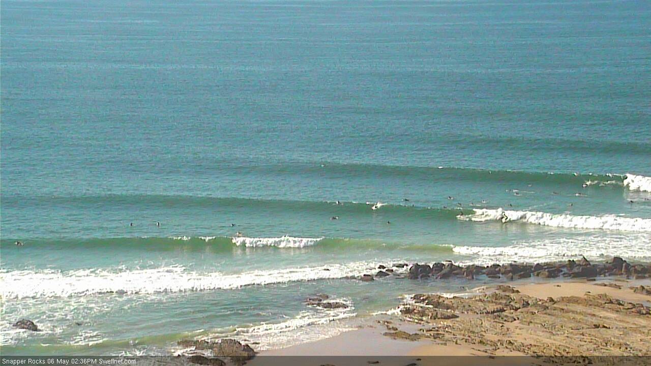
Recap: Generally clean conditions with an intermittent continuation of east swell. Wave heights appeared to dip slightly early this morning, before strengthening a little through the afternoon (nice image from our Snapper surfcam below).
This week (May 7 - 8)
There’s not much to glean from the latest swell model data. They’re essentially flatlining the existing east swell for the next few days in the 2-3ft range, including a small long range reinforcing pulse due on Friday (from the active trades way out north-east of New Zealand), ahead of a marginally better pulse on Saturday.
The only real change will be at the surface, where a new ridge of high pressure will push a S/SE change across the North Coast early Thursday morning, reaching the Gold Coast early-mid morning and the Sunshine Coast mid-late morning (winds should remain SW across the Mid North Coast, as it’ll be more under the influence of a strong frontal passage to the south). These winds will focus the best waves to semi-exposed points.
By Friday this ridge will have weakened enough for terrestrial influences to swing the morning’s winds back to the south-west (maybe W’ly in some areas), possibly tending southerly during the day but probably without any great strength. Wave heights should motor along in the 2-3ft range at exposed beaches with long breaks between sets. Aim for an early surf for the best waves.
This weekend (May 9 - 10)
A small tropical disturbance developing near Vanuatu today is expected to slide south into our swell window on Thursday - at the head of the tradewinds stretching further east - and will therefore generate a fresh new E’ly swell for Saturday. This is infact the same weather system modelled last Friday that pretty much disappeared from the model guidance on Monday.
Despite being downgraded it should kick up a fresh E’ly to almost E/NE swell for Saturday in the 3ft range at most open beaches.
Also in the water on Saturday - but only across exposed south facing beaches in Northern NSW - is a strong southerly groundswell generated by an intense frontal system crossing Tasmanian longitudes tomorrow. This will create a very large range in wave heights across the coast, but exposed south facing beaches could see occasional 3-5ft sets from this source (biggest in the afternoon). Expect much smaller waves from this source north of Byron Bay.
Saturday’s conditions are looking really good too with light variable winds and afternoon sea breezes.
On Sunday, both the east swell and the south swell will ease back a touch (the latter more so than the former) but conditions are expected to be similarly clean with light winds and sea breezes. All up, it’s looking to be a couple of great days for the exposed beaches across all coasts.
Next week (May 11 onwards)
Another strong succession of fronts are expected through the first half of next week, and current model guidance suggests they’ll be more meridional (north-south) in alignment, which means they will have a much higher size potential than the upcoming pattern - but again, mainly at south facing beaches in Northern NSW.
At this stage, the first new swell is due in on Monday, with a followup sometime Tuesday and then a third large swell around Thursday. Each swell has the potential of generating easy 6ft+ sets at exposed south facing beaches, but we’ll have a better idea on the precise size and the timing in Friday’s update.


