Make the most of tomorrow
Eastern Tasmanian forecast by Craig Brokensha (issued Monday March 24th)
Best Days: Tomorrow northern corners
Features of the Forecast (tl;dr)
- Peak in inconsistent S/SE groundswell tomorrow with W/NW tending gusty N/NE winds
- Easing S/SE swell Wed with a tiny localised S/SE windswell. Strengthening S/SW tending S/SE winds
- Building S/SE windswell late Sat, peaking Sun with S/SE-SE winds
Recap
There was nothing of real note on offer for the weekend, while today we’ve seen an inconsistent, long-period S/SE groundswell showing across the region with 2ft+ sets now hitting the south magnets.

New S/SE groundswell showing this afternoon
This week and weekend (Mar 25 - 30)

Today’s building S/SE groundswell (generated by hurricane-force S/SE winds on the polar shelf Friday evening) is due to peak tomorrow morning across the state with infrequent but quality 3ft waves due across the magnets and a light offshore wind will create clean conditions ahead of fresh N/NE sea breezes.
A trough will bring gusty S/SW tending S/SE winds Wednesday as the swell eases along with some very weak, tiny localised S/SE windswell.
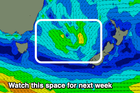
Otherwise there’s nothing of note this period until later in the weekend when a trough sliding north off a polar front brings some localised S/SE windswell which then may form a low north-east of us.
This could generate some new E’ly swell for next week but more on this Wednesday.

