Hit and miss outlook, potential next week
Eastern Tasmania Surf Forecast by Craig Brokensha (issued Wednesday 4th November)
Best Days: Sunday morning south swell magnets, mid-late next week
Recap
Less than ideal conditions with small surf and increasing wind yesterday, while today we've got a mix of new E'ly swell and NE windswell coming in at 2-3ft. Conditions have cleaned up from this morning and southern corners are the pick into the evening.
This week and weekend (Nov 5 - 8)
 A S'ly change due later today isn't expected to offer much in the way of swell, with a weak S'ly windswell due tomorrow morning, fading through the day. There'll be no E'ly or NE swell left in the mix with average 1-2ft waves max.
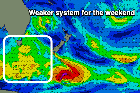
Into the weekend our new S'ly swell for Saturday is on track though the front is fairly zonal but broad and elongated in nature.
A mid-period S'ly swell should build through Saturday along with a localised S'ly windswell from a front pushing up past the coast. Windy building sets to 3ft or so due across south facing beaches but with a SW tending SE wind.
 Sunday should become cleaner with a light W/SW offshore ahead of NE sea breezes with the mix of swells due to ease back from 2-3ft max.
The outlook is then slow through early next week ahead of some building N/NE windswell which looks to become quite sizey through the middle to end of the week.
This will be generated as a strong mid-latitude low forming in the Bight squeezes a strong high in the Tasman Sea as it slowly pushes east. More on this in Friday's notes though.

