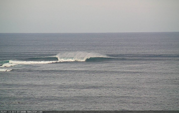
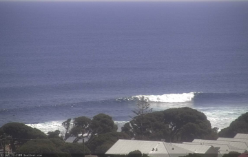
Increasing swell energy over the coming days with improving winds as it starts to ease. More swell next week.
Primary tabs
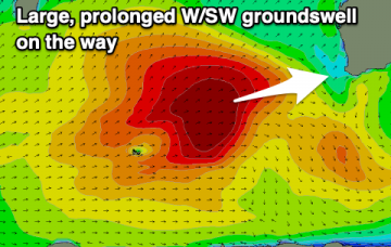
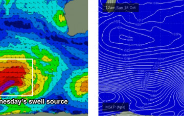
We’ve still got a very large swell due next week, thanks to a conveyor belt of powerful fronts pushing around an amplifying node of the Long Wave Trough, in the central/southern Indian Ocean. More in the Forecaster Notes.
Next week is still looking to be pretty large, thanks to an amplifying Long Wave Trough west of WA over the weekend. This will set up a conveyor belt of powerful fronts and lows through our mid range swell window, covering an impressive region of the southern Indian Ocean. More in the Forecaster Notes.
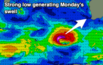
Late Tuesday afternoon, we may see the leading edge of the next round of groundswell nose into the coast, generated by an incredible Southern Ocean Low currently to our south-west. More in the Forecaster Notes.
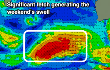
A series of powerful Southern Ocean lows in our far swell window have generated (and are still generating) excellent long period swells that will arrive in succession from Sunday evening onwards. More in the Forecaster Notes.
A new swell will push across the region on Thursday, generated by a polar low traversing the ice shelf earlier this week. More in the Forecaster Notes.
After very active weekend of waves, the Southern Indian Ocean storm track has gone a little quiet so we’re looking at an extended spell of much smaller surf. More in the Forecaster Notes.
Lots of size over the coming days with good, large swells and favourable though not perfect winds.
Plenty of swell this period and with generally favourable winds. A great run for experienced surfers.
Back to back large swells on the way with generally better local winds to deal with.

