Great conditions most mornings this week with lots of swell to come. Work the size and conditions for the best results.
Primary tabs
Good W/SW groundswell tomorrow with variable winds, followed by another building SW swell Sunday with good conditions on the Surf Coast. Large swell for the middle of next week but with NE winds.
Easing clean SW swell tomorrow, poor and onshore Friday. New W/SW swell for Saturday with light winds through the morning, clean Sunday as a new SW swell builds. Lots of swell for next week but the winds are still moving around.
Onshore winds with plenty of swell tomorrow, improving Wednesday and best Thursday as the surf eases. More swell for the weekend as winds improve again after a late week onshore change.
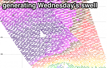
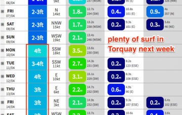
The rest of next week looks busy with a steady progression of Southern Ocean storms generating back to back moderate SW groundswells for the region.
Winds will strengthen from the NNW on Saturday as a cold front approaches and this will create problems east of Melbourne. As such our weekend focus will be west of Melbourne.
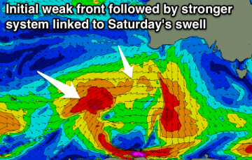
A series of modest fronts through the Southern Ocean now and over the coming days (pushing east of Heard Island at the moment) will produce some small new swells for the second half of the week though no major size is expected.
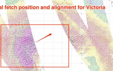
The models have been consistent all week, the satellite data confirms the model guidance and so we’re looking at very large waves building through Saturday, peaking late afternoon and easing slowly from Sunday morning.
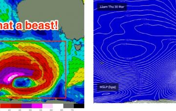
So, here comes the expected large swell for Thursday.
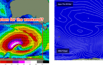
The interesting thing about this week’s upcoming swell on Wednesday, Thursday and Friday is that it'll probably be a distraction, and many people many not realise that there’s a likely better swell inbound for the weekend. So don’t over-froth too hard over the coming days as there’s more to come.

