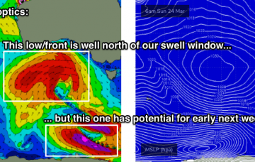
Average conditions tomorrow morning with a new swell, cleaner as it eases Sunday. Small to tiny westerly swells most of next week.
Primary tabs
Easing surf with favourable winds over the coming days, slow next week.
Plenty of swell this week and mostly clean, though there are a few select days. Average outlook to follow.
Tricky though generally fun westerly swells to work with over the coming period.
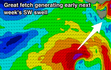
Generally clean and fun swells though from a westerly direction, stronger and larger early next week.
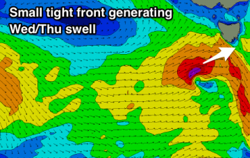
Clean fun waves tomorrow, with a new swell for Wed/Thu, best as it eases. Plenty of activity into next week.
Plenty of swell but generally average conditions on the weekend, much better early next week.
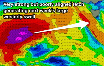
By and large, this weather progression has so far been aimed out of the South Arm’s swell window - up until this afternoon. The storm track’s been a little too north, so the resulting swell direction to date has been quite west, or even north-west across Tasmanian latitudes.
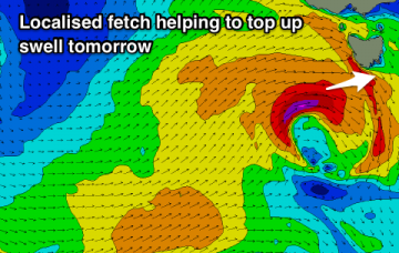
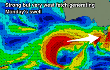
A complex series of powerful lows will track across Tasmanian longitudes from Monday onwards, delivering W/NW tending W’ly gales and building strong surf across the region.
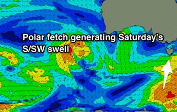
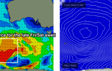
We’re in the midst of a regional blocking pattern with the main influence for our region being a stationary belt of high pressure across the Southern Ocean, stretching from underneath Western Australia through South Australia to a position below Tasmania.

