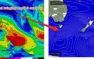
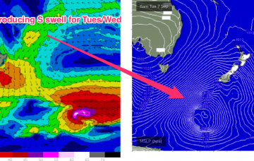
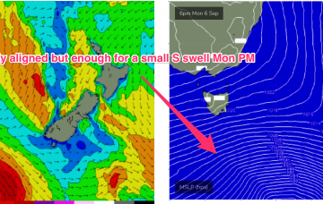
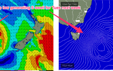
This front is expected to be a swell producer for the NE Coast with a deep S’ly fetch tied to a complex low tracking NE through Mon and bringing a steep increase in new S swell through the day. Unfortunately this will come with S’ly through SSE’ly winds so you’ll need to find somewhere out of the wind to surf and sacrifice some size.
Primary tabs
This swell will be generated by a deep low centred around 50S which is expected to track south of Tasmania later tonight, with a slight NE wobble as it transits the Tasman on Tuesday. This is a powerful storm, with storm force winds and a large area of seas in excess of 30ft.
Models have rejigged the frontal progression into the Lower Tasman next week with a less favourably aligned storm track for NETas.
Initially, winds on the Western (East Coast Aus) side of the Tasman begin to freshen from the North and we’ll see that through the rest of the working week as the high pressure ridge gets squeezed by an approaching trough and front.
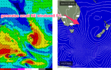
N’ly winds then freshen again Thursday with a much stronger fetch adjacent to the NSW coastline and extending down to the Tasmanian coast brings a stronger flush of NE windswell.
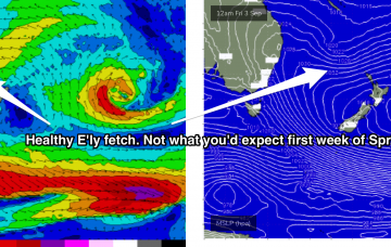
Remnants of this weeks Tasman low are expected to drift NE towards the North Island over the weekend and reintensify Sun/Mon with a fetch of severe gales extending out of Cook Strait into the Tasman Sea.
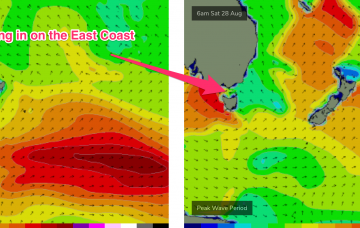
Strong swell from the SE/ESE being generated by the SW flank of the low as it drifts towards the South Island should see plenty of surf in the 5ft range, holding into Sat before easing back.
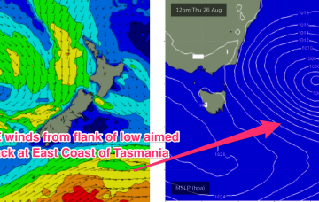
Friday looks a much better bet. With the low drifting SE towards New Zealand the south and south-west flank of the low aim a fetch of SE/ESE winds back at the North-east coastline of Tasmania.
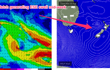
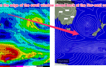
The low drifts away towards New Zealand through Wed/Thurs with SE winds on the lower flank of the cut-off low sufficiently low in latitude to be in the Nor-east Tas swell window
Not much on the menu with small, weak swells from the north-east.

