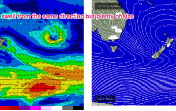
Freshening N/NE winds will deteriorate surface conditions through Saturday.
Primary tabs
So, the weekend’s Tasman Low event - responsible for the last six days of swell - has become absorbed into a broad trough occupying the eastern half of the Tasman Sea.
The Tasman Low responsible for our three-day swell event began easing late Sunday so we’ll see a corresponding easing of surf size from now onwards.
The Tasman Low will maintain strength through Sunday, meaning Monday’s on target for strong S/SE surf
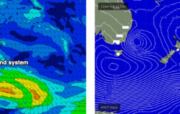
Large S’ly swells will dominate the weekend as an impressive Tasman Low reaches a peak in strength on Saturday.
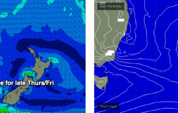
A stalled trough off the coast is expected to muscle up through Thursday (see below), strengthening E/SE winds into the Far South Coast, before a Tasman Low forms along the trough line overnight Thursday, and drives southerly gales across all Southern NSW coast regions into Friday morning.
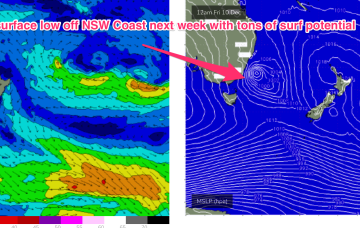
Strong high pressure moves E to be well south of the Bight by mid next week. An intrusion of cold air is expected to form an upper cold pool, leading to instability and the development of a surface low as the upper trough interacts with the Tasman trough, later Thurs or Fri. There’s a possibility this low may be an ECL or have characteristics similar to one, potentially including severe weather.
High pressure is now drifting over New Zealand with multiple trough areas through the Tasman Sea, interior, and extending along the East Coast from the tropics down to temperate NSW. This is creating a moist, variable, onshore flow through the region with small surf.
We’re right up to our neck in a troughy La Nina pattern, which continues on through this week. High pressure is sitting just to the East of Tasmania, with the dissipating remains of the weekend’s trough of low pressure linked to a coastal trough extending up into the sub-tropics
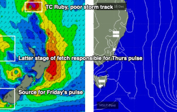
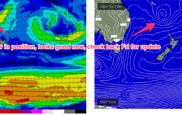
The long, elongated trough line extending off the NSW Coast and angling in a NW/SE orientation towards New Zealand is now located a bit further north than modelled on Wed.

