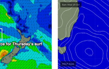
Saturday looks really tricky. A complex low pressure trough approaching from the west will move off the coast in the early hours of the morning, and we’ll see a couple of wind shifts throughout the day. More in the Forecaster Notes.
Primary tabs
Local conditions look tricky, thanks to the presence of a broad trough adjacent much of the east coast, which is expected to spin off a small weak low due east of Sydney on Thursday morning. More in the Forecaster Notes.
Large swells will persist for the next few days. In fact, the synoptics described in Friday’s model runs still hold true for the short term. More in the Forecaster Notes.
We’ve got an extended run of sizeable SE swell for our region. More in the Forecaster Notes.
The synoptics are dominated by a complex pattern of low pressure troughs from the Tasman Sea all the way across the eastern states and out into South Australia. This is expected to produce a dynamic period of weather for NSW, though not a lot of swell. Next week though... get ready! More in the Forecaster Notes.
Unfortunately, a quiet synoptic chart across the Tasman Sea this week means we’re looking at a continuation of small swells. Fortunately, the long term outlook has a lot more potential. More in the Forecaster Notes.
Next week has a lot of potential, but the models are highly divergent at the present time so confidence is only low as to how much surf we’ll see. More in the Forecaster Notes.
No change to the outlook for the rest of the week, with small peripheral swells on the menu. More in the Forecaster Notes.
Small surf is still expected to be the dominant feature all week. But, there's a few interesting things on the charts. More in the Forecaster Notes.
Our current E/NE swell will continue to ease into the weekend. More in the Forecaster Notes.

