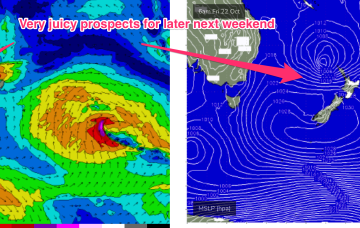
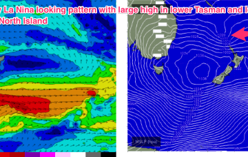
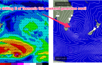
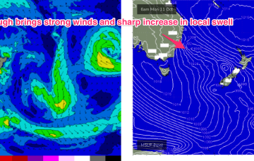
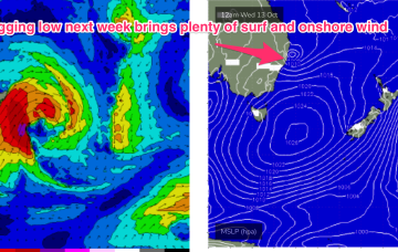
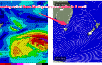
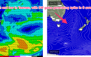
Very dynamic, unstable week ahead that has a very La Nina looking signature to it. Primarily the strong, southwards located high and a very troughy pattern in the Tasman sea, that has good swell potential for the region.
Primary tabs
Next week looks even more La Nina influenced than this week, as a strong high moving at an unseasonably southwards latitude moves into the lower Tasman and directs a strong onshore flow.
The second half of the week looks a little more interesting. An approaching mid-latitude low in the Bight tightens the the pressure gradient along the western flank of the high in the Tasman, with an increase in N to NE winds off NSW coast.
Highly dynamic week next week kicks off Mon with a NE/SW angled trough expected to form offshore from the top of the Hunter coast, or lower Mid North Coast.
We’re now well into the very mobile Spring pattern identified in Mon’s notes. Weak high pressure is currently over NSW and in the process of migrating into the Tasman sea and a series of fronts tied to a complex area of low pressure SE and SW of Tasmania are lined up to sweep across the SE of the continent and into the Tasman sea.
This week is looking much more like a classic spring pattern. The ingredients are weak, mobile high pressure at sub-tropical latitudes and a series of troughs and weaker fronts tied a complex area of low pressure in the Southern Tasman and near Southern Ocean.
A trough and inland low located over Victoria is now in the process of moving offshore, shunting the N’ly winds further East and bringing a regime of more variable, tending W’ly winds.
The fetch remains active over the weekend, although slightly weaker compared to earlier model runs. Compensating for lower windspeeds will be a broad coverage of wind from the Northern Tasman, up into the Southern Coral Sea.
This will see a regime of northerly winds adjacent to the coast and an unstable atmosphere on the coast and inland. NE to N winds feeding into the trough will see swell from that direction become dominant with a peak in size expected mid-week.
Another long period S swell pulse is expected in tomorrow morning, albeit a notch smaller than today, but you’ll have to get your skates on before the S’ly change hits.

